A new study revealing that huge expansions of extensive large-scale agriculture is making the South American plains more vulnerable to widespread flooding should act as a “wake-up call”, say researchers.
The grasslands of the Argentinean Pampas, famously home to the iconic Gaucho, along with other extensive flat plain areas of South America have been undergoing an intense transformation in recent decades.
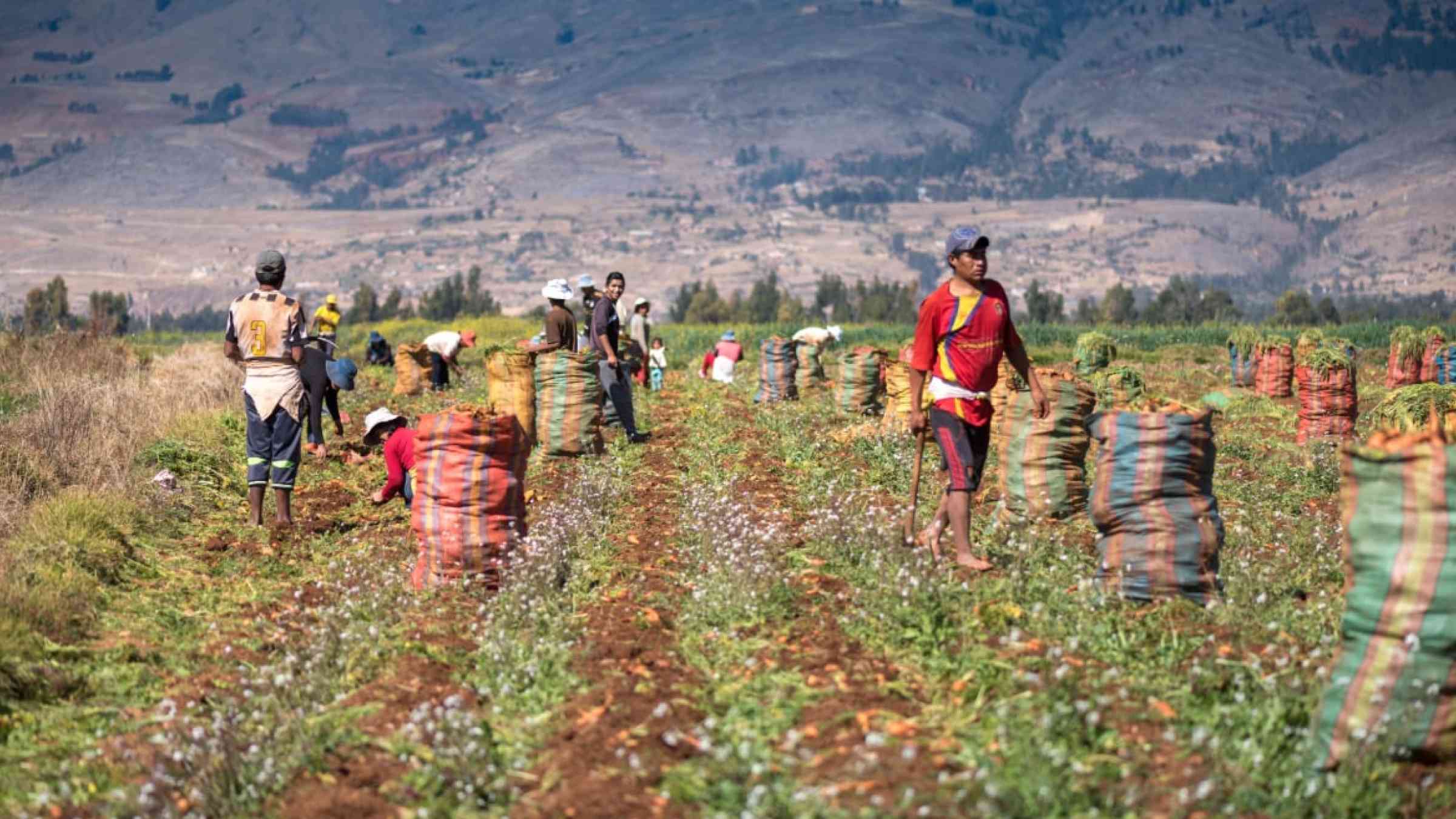
Driven by soaring international demand, extensive areas of grasslands, and forests across South American plains have rapidly been converted to the production of annual crops, such as soybean and maize. This agricultural expansion has been taking place at a staggering rate of 2.1 million hectares a year.
Environmental concerns around biodiversity and soil degradation from these changes are long-standing. However, a new study, published today in Science, shows how these shifts to annual crop agriculture, which relies on rainfall rather than irrigation, is also rapidly disrupting the water table across the large flat regions of the Pampas and Chaco plains and contributing to significantly increased risks of surface flooding.
The international team of researchers from universities of San Luis in Argentina and Lancaster University in the UK used satellite imagery and field observations over the last four decades, as well as statistical modelling and hydrological simulations, to identify trends for groundwater and flooding. They revealed unprecedented evidence on how subtle, but widespread changes to vegetation cover by people, can transform the water cycle across large regions.
“The replacement of native vegetation and pastures with rain-fed croplands in South America’s major grain-producing area has resulted in a significant increase in the number of floods, and the area they affect,” said Dr. Javier Houspanossian of the National University of San Luis, in Argentina. “Fine-resolution remote sensing imagery captured the appearance of new flooded areas, expanding at a rate of approximately 700 square kilometres per year in the central plains, a phenomenon unseen elsewhere on the continent.”
The data revealed that as short-rooted annual crops replace deeper-rooted native vegetation and pastures, floods are gradually doubling their coverage and becoming more sensitive to changes in precipitation. Groundwater, once deep beneath the surface (12-6 metres), is now rising to shallower levels (around 4 metres).
“By replacing deeper rooted trees, plants and grasses with shallow rooted annual crops over such a huge scale this has culminated in seeing the regional water table rise closer to the surface,” said Dr. Esteban Jobbágy of CONICET, in Argentina. “As the water level rises closer to the surface there is naturally less capacity for the land to absorb heavy rainfall, contributing to making flooding more likely.”
The key to this sensitivity to shallower water tables is the flatness of the land, as this results in water that is very slow at flowing away. And the flattest sedimentary plains also happen, in many cases, to host some of the best farming soils on Earth.
“In these extremely flat regions we find vegetation changes play a major role in modulating flooding through the capacity of plants to draw down groundwater reserves during dry periods,” said Dr. Jobbágy.
The researchers say these findings are a “wake-up call” that show that by rapidly expanding agriculture across wide plains, people can disrupt the hydrology across a large scale, increasing the risks of flooding.
“These floods are a major concern for the farmers and people living in the region, but also elsewhere as further expansions of these floods could potentially disrupt food supplies and prices,” said Professor Mariana Rufino, formerly of Lancaster University.
“These results should act as a wake-up call that if we are going to make such huge and rapid land-use changes across large flat landscapes then it can transform the hydrology with potential increased risks.”
In addition to flooding, researchers say these human-induced hydrological changes are also risking other issues such as soil erosion, methane emissions and salting of the land through salination.
The researchers argue that the hydrological changes happening in the South American plains also offer lessons for other similar agriculturally intensifying flat regions elsewhere in the world, such as central Canada, Hungary, Kazakhstan, areas of China and the Ukraine.
Professor Peter Atkinson of Lancaster University said: “This research reminds us that the Earth is a delicately balanced system, and that our actions in one domain can have unintended negative consequences in another, in this case fairly uniformly over a vast area.”
Dr. Wlodek Tych of Lancaster University said: “We used a statistical modelling approach that avoided bias and strong assumptions, adding rigour to our findings linking intensive agriculture expansion to increased risk of flooding. These findings should inform new land management policies across these extensive flat rain-fed regions.”
The authors say the findings underscore the urgent need for smarter land use policies that promote sustainable farming practices and informed water management strategies.
“There is much that can be done at the landscape level if we allocate parts of the land to deep rooted forest patches, and perennial pastures to prevent very shallow areas of ground water,” said Dr. Jobbágy.
Other solutions include breeding crops with deeper root systems, crop rotations more flexible to water table depths. The findings are outlined in the paper ‘Agricultural expansion raises groundwater and increases flooding in the South American plains’ published by Science.


